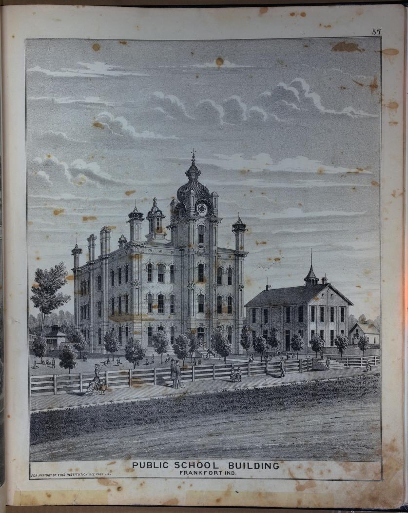
Back in May, we released a collection of mapped illustrations from the 1878 Combination Atlas Map of Clinton County, Indiana by Kingman Brothers of Chicago. Up to now, the full text has not been freely available in digital form–you could only access a microfilmed version by paying for an Ancestry.com subscription.
But with with Archive.org, we have posted our scans to be read for free. You can access it here: https://archive.org/details/1878-clinton-county-atlas
This includes portraits, biographies, and one of the oldest histories of Clinton County as well as the maps and illustrations. The automatic text detection seems to still be processing, but once that’s done you will be able to search in it as well. (But you can always just search in our Master Index, as it includes this book. We will be updating it with direct links soon.)
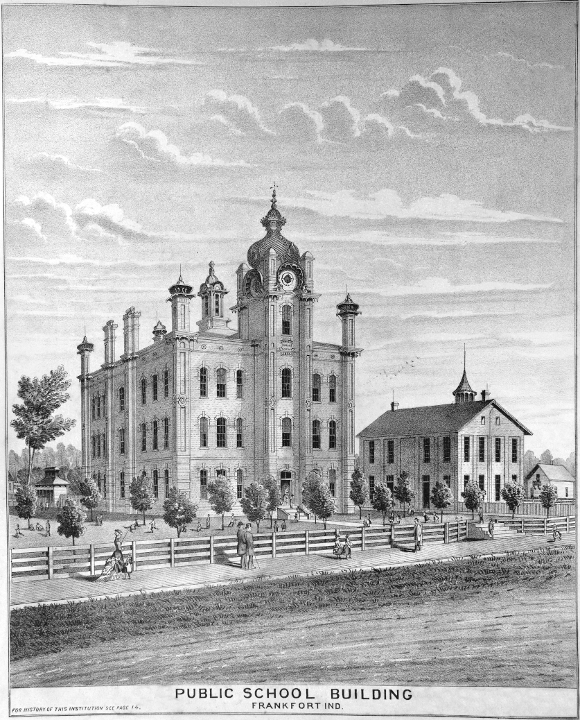
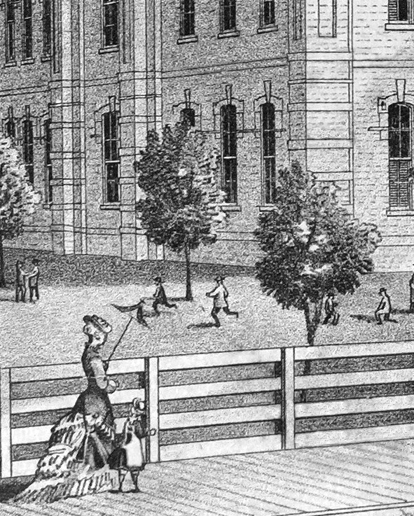
Looking over it, you may notice the original is not in the greatest shape (it is 143 years old, after all). If you compare it to our collection of extracted illustrations linked above, you will see that we did quite a bit of work retouching them. Here is an example:

The next step will be to extract the history texts from the images, edit them, and post them in a version that is much more readable. But that is for another time.