Back in May, we released a collection of mapped illustrations from the 1878 Combination Atlas Map of Clinton County, Indiana by Kingman Brothers of Chicago. Up to now, the full text has not been freely available in digital form--you could only access a microfilmed version by paying for an Ancestry.com subscription. But with with Archive.org, … Continue reading 1878 Atlas Full Text Available
1878 Homestead Illustrations Mapped
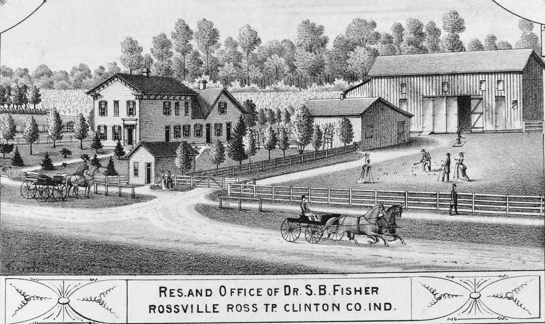
I am very excited to release a project I have been working on for months: the digitization and mapping of 118 illustrations of Clinton County homes and businesses from the 1878 atlas of Clinton County. If you have never seen this atlas, the illustrations are amazingly detailed and accurately portray many farms and towns as … Continue reading 1878 Homestead Illustrations Mapped
Illustrations from 1886 History of Clinton County
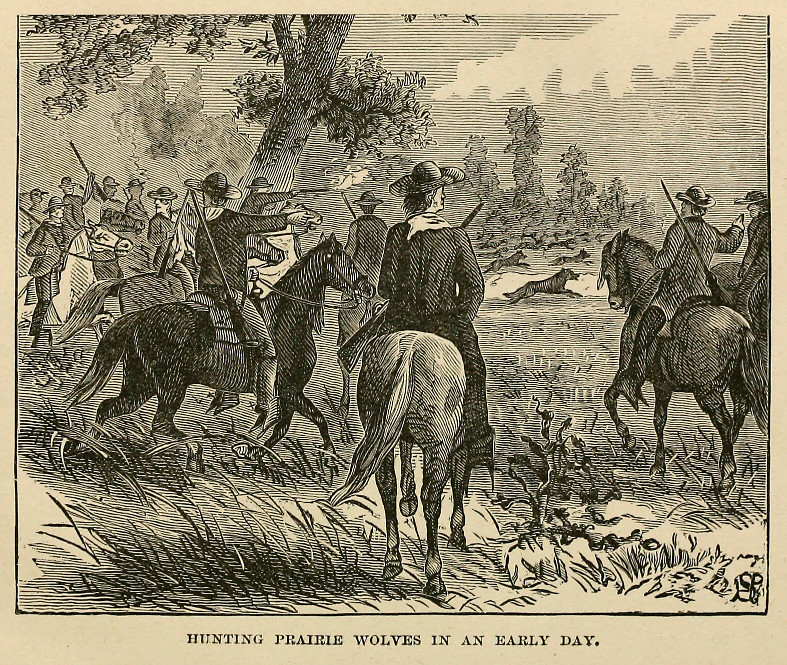
These are taken from the absurdly long-titled History of Clinton County, Indiana. Together with sketches of its cities, villages and towns, educational, religious, civil, military, and political history, portraits of prominent persons, and biographies of representative citizens. Also a condensed history of Indiana, embodying accounts of prehistoric races, Indian wars, and a brief review of … Continue reading Illustrations from 1886 History of Clinton County


